Wednesday, July 29, 2020

Feb 2016 version of Rock Island's Roosevelt Road Intermodal Facility

Dennis DeBruler shared Mark Llanuza's photo
Mark's comment: "Rock Island at its finest July 1977 with E-7 and F-7 coming into La Salle"

My comment:
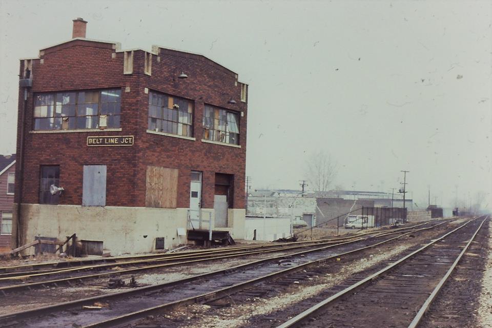
Is that piggyback loading/unloading facility in the background in B&OCT's yard? 1977 would be years after the depot was torn down. But I notice the bridge is in a down position.
The responses indicated this was a Rock Island intermodal facility that they had built on their old coach yard. The facility also used the land of a small turntable on the south side of the coach yard. So the facility stretched from just south of LaSalle Street Station to 12th Street (Roosevelt Road). The posting below calls the facility the Roosevelt Road terminal. Bob Lalich noted "The trailers are parked on land that was the original bed of the South Branch of the Chicago River."

Jason Jordan shared Lou Gerard's photo
Lou's comment:
Five Rock Island E's, all ex UP, have just brought a piggy back train into the Roosevelt Road terminal in Chicago, and head back to Blue Island. June 1973.
Lou Gerard posted
Rock Island E7's 642 and B unit 610 have a bicycle train for Starved Rock State Park departing LaSalle St. station in 1975.
David Daruszka comment on the above shared photo
David provided an older "then" photo for the top "then" photo. You can clearly see all of the coaches stored in the coach yard. All of the weeds in the top photo reminds me that 1977 is about three years away from RI's liquidation. A "now" picture includes a theaterShowPlace ICON, and parking lots.

William Wozniak posted a question about the horror movie OmenII:Damien that had a scene made in this yard. George Lamore posted the clip.

Update: Mark posted the first picture again with the comment: "Its 1977 with inbound rush hour train with a mix of Rock Island Bi Levels and Amtrak coaches with E-7 leading the way."

Mark Llanuza posted
Its 1974 a dark cold winter day at Roosevelt Rd yard.
Rick Covert shared
RI passenger train with E-8 #644 at Chicago IL, July 1965.
Dennis Ryan Sr Photographer on that day in 1965 was Ted Ellis.
[Note the container loading in the middle of the photo.]
Mark Llanuza posted
eastbound pulls into Rock Island's Roosevelt rd yard with three E-units 1973
Dennis DeBruler Thanks for taking other scenes in addition to passenger trains entering and leaving the depot.


Friday, July 24, 2020

Blog URL corruption test

Clearing formatting in a photo caption still corrupts URLs. This test determines if it corrupts URLs in the main body. (It does, but the corruption is different.)

A test URL with bold text.

Copying the above text and clearing the formatting: A test URL with bold text.

Just copying the initial line: A test URL with bold text.

Resulting HTML:
<br /><div><b><a href="https://www.google.com/maps/d/viewer?mid=1Q91IBeZLh916Q5auDaQ9-x25vh0&amp;ll=41.751693106260014%2C-87.61343805682361&amp;z=11" target="_blank">A test URL</a> with bold text</b>.</div><div><br /></div><div>Copying the above text and clearing the formatting:&nbsp;<a href="https://www.blogger.com/blog/post/edit/7959782850705143626/6217430378893524362#">A test URL</a> with bold text.</div><div><br /></div><div>Just copying the initial line:&nbsp;<b><a href="https://www.google.com/maps/d/viewer?mid=1Q91IBeZLh916Q5auDaQ9-x25vh0&amp;ll=41.751693106260014%2C-87.61343805682361&amp;z=11" target="_blank">A test URL</a>&nbsp;with bold text</b>.</div>

I did the third line when I saw that the bogus URL in the second line was similar to what I saw when I copied information from the new version to the legacy version. That test indicates it is the format clearing that is corrupting user information.

Wednesday, July 1, 2020

Aug 2018 Version of Detroit, MI: Belt Line Junction: CRSA/MC vs. CN/GTW

(MichiganRailroadsSatellite) CRSA/MC is the single-track north/south route and CN/GTW is the double-track diagonal route.

Peter Dudley posted
Belt Line Junction is located on Detroit's east side, just north of the Dodge Main site (today's GM / Cadillac Assembly "Poletown" plant).
The Michigan Central / New York Central Detroit Belt Line diverged from the M.C.R.R. / NYC Bay City Division, and crossed the parallel Grand Trunk tracks here. The tower is long-gone.
The Belt Line once extended all the way to Detroit's east riverfront, connecting with Detroit Transit Railroad (another M.C.R.R. / NYC line). Today, the line ends just north of Gratiot Avenue (where a M.C.R.R. freight station once stood). It served many factories, including Packard Motor Car Company's plant (1906-1956).
Peter DudleyPeter and 1 other manage the membership, moderators, settings, and posts for Detroit - Area Railroad History. The tower must have been located east of St. Aubin (within shouting distance of Milwaukee Junction), and west of Joseph Campau. The area has changed, as a result of Poletown plant construction (Hamtramck Drive is new -- the Belt Line no longer directly connects with the North Yard Branch at the former - tower site).
http://www.michiganrailroads.com/.../2149-belt-line...
For some unexplained reason, these "Belt Line Jct." tower photographs don't match. Did a brick tower replace the frame tower, at some point?
Nhat Quan V. Do Is it (apprx.) here? https://www.google.com/maps/@42.3811705,-83.0559676,3a,60y,72.55h,90.55t/data=!3m6!1e1!3m4!1sD-o_DyOuOu2cgEH5QJGkoA!2e0!7i13312!8i6656
Dennis DeBruler The 2005 SPV Map shows it here: https://www.google.com/.../@42.4089091,-83.../data=!3m1!1e3 CRSA/MC is the single-track north/south route and CN/GTW is the double-track diaganol route.
Peter DudleyPeter and 1 other manage the membership, moderators, settings, and posts for Detroit - Area Railroad History. Nhat Quan V. Do: It was farther east from St. Aubin (closer to Joseph Campau)).
Peter Dudley Dennis DeBruler: Actually, this level crossing is located near the site of Forest Lawn Tower (named after the nearby cemetery).
The single-track north / south line there was used by Detroit Terminal Railroad and Michigan Central / NYC Belt Line Extension traffic. The Belt Line Extension track connects with the original Detroit Belt Line just north of I-94, east of Mt. Elliott Avenue.
The Mt. Elliott / Detroit Belt Line grade crossing north of I-94 was removed during Poletown plant construction, but it was re-installed a few years ago.
The Belt Line Extension connects with the Detroit & Bay City Division / North Yard Branch (leading to the Sterling Secondary / Utica Industrial Track) HERE:
https://www.google.com/.../@42.4152245,-83.../data=!3m1!1e3
Peter Dudley commented on his posting
Now & Then: A small Michigan Central Railroad (M.C.R.R.) roundhouse once stood east of Mt. Elliott Avenue, north of Forest Lawn Tower, in Detroit.
The circular foundation of the roundhouse's back wall is still-extant.
https://www.facebook.com/photo.php?fbid=1665857910339175&set=p.1665857910339175&type=3&theater