https://ngmdb.usgs.gov/topoview/viewer/#15/41.8366/-88.3087
old: https://livingatlas.arcgis.com/topoexplorer/index.html
topoexplorer@esri.com
Historical Topo Map Explorer
blog
https://livingatlas.arcgis.com/topomapexplorer/#maps=&loc=-98.54,40.15&LoD=4
Missing: 1944 Edmund @ 62,500 (Columbia SC)
Missing: 1953 Baltimore West @ 24,000
The new base map doesn't label railroads, but the old one did. Later, I started seeing old railroad names. I wonder which year they are supposed to be from. It could be 1928.
And when I zoom in to try to narrow the choices to the area of interest, all of the choices disappear.
At first, 1958 @ 24,000 maps did not appear in the sidebar. When they did appear later, clicking them did not display anything. The old map portal doesn't offer any 1958 maps.
Between the time I accessed the 1960 Oxford Quad and the time I looked again to reference it, the quad disappeared from the sidebar. Fortunately, I remembered what it was so I could reference it anyhow. 
Since Danville is offered, why doesn't it appear when I click it?
That quad is not close to the location I specified: Cabery, IL.
The new portal labels the railroad in Greenwich, KS, with the historical name of Missouri Pacific. Using historic names deliberate or a mistake. The old portal uses the current name of UP.
None of the @ 24,000 quads show up in the area selected when I mouse over. That is because there is no 1950s 24,000 quad for this area. (I used the old portal to determine that.) I had to go with 62,500 Allentown. My point is, don't offer quads that are not in the selected geographical area!!!!!
As usual, if I zoom in to try to force a smaller list, I get: "Change your map extent, or adjust filter selections, to find topo maps."
Neither the new nor the old new about Mifflin, PA. I had to use Mifflintown, which is across the river.
Each web site was missing a topo that was in the other web site.
This is what the new site gives for a search result for "mercer wi."
This is what the old one gives you.
Even when I zoomed in, it still would not indicate where Mercer is! And the new one did not offer the 1940 Mercer Quad @ 48,000 that the old one had.
1957 Cullman @ 24,000 is missing!!!!
1970 Willow Island @ 24,000 is missing!!!!
1960 Van Wert and Scott is now 1961? And look at how many bogus quads I'm offered that hide Van Wert and Scott quads. In this case, zooming in did help rather than return an error message.
The old had 1936 Elizabeth @ 62,500, but the new had 1940 Elizabeth @ 62,500. And they were different!
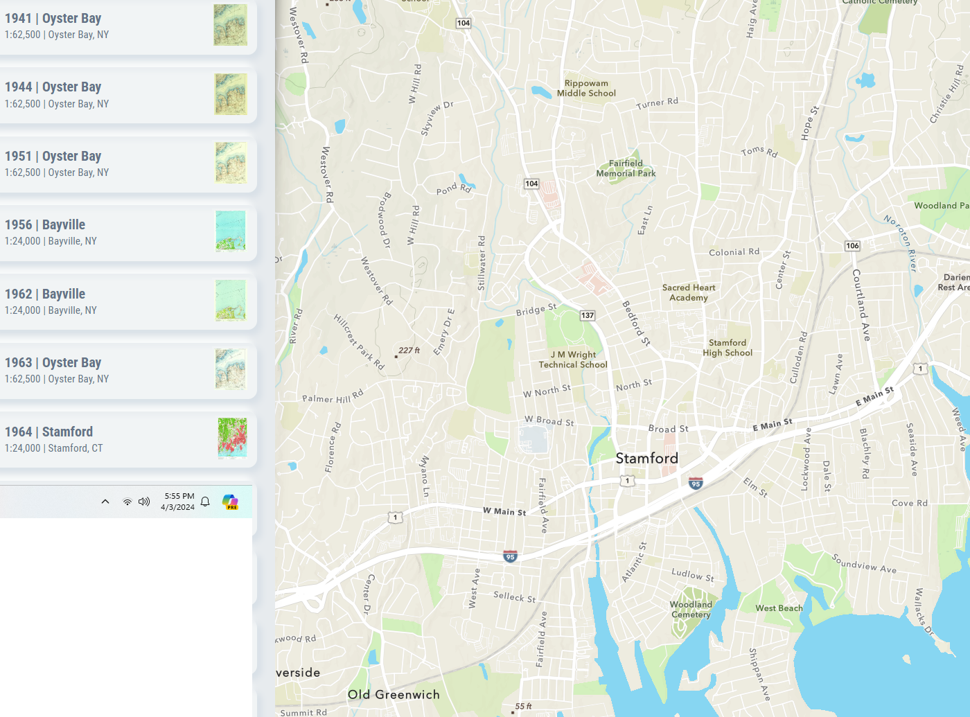
Lots of quads, but no 1950s Stamford. And the 1960s don't agree.
Apr 4, 2024: did they fix the bug that zooming in displays an error message instead of a list of quads?
It is a new version. Now I don't even get a message when it refuses to offer some quads.
After zooming out, it offers quads that are not even visible. Norfolk South covers all of this teritory.
And then it just quit working!!!
The window got covered up. When I put the window back on top the quad information was gone! Did they do any Alhpa testing? You don't even need a test plan. You just need to try to use it to find problems that need to be fixed. In order to get my project done, I went back to the old software. Once again, the list of quads is different. The old one as 1953 and the new one has 1957, when you can get it to admit which quads exist.
Even the base map has some horrible errors. The railroad through Chana, IL, was the CB&Q, not the Santa Fe!
The old version gets this right.
Again, when I put its window on top again, it forgot its map! And it was pinned this time. The problem with resetting is that I also loose my year and scale settings. What a pain.
Apr 6, 2024:
Old:
New: 1954 Water Valley West is missing from the new one and the old doesn't have the 1966 quad.
De Perre, WI Quad: Old has 1954 whereas the new has 1956
Apr 12, 2024: the base map labels the former B&O route across Pittsburgh as Penn Central. I'm sure a B&O was never part of Penn Central. A Google search indicates it is now owned by Allegheny Valley Railroad.
Apr 14: the railroads on the base map for Peabody KS are labeled Rock Island and Santa Fe. Those railroads are long gone.
Apr 15: when I search for Herrin, IL, this is what I'm presented. It labels a bunch of little stuff around Herrin, but it doesn't label Herrin itself!
Only after I zoom in does it bother to label Herrin.
Apr 16: 1951 Youngstown @ 24,000 is missing
Apr 17: the base map labels the railroad through Downey, IA, as Rock Island. Once again, I had to go back to the old map to find the correct contemporary owner, which is Iowa Interstate.
I went back to the old map to verify that there is not an older 24,000 map for Lostant, IL, rather than play guess & goof with the new one.
Apr 19: when I changed the date scale from 1940 to 1879, it did not offer the 1920s map. When I did a new search for Monroe, it did display a 1920s map. But, the old offers 1920 while the new offers 1922.
This is what I got for the results of a search for Portage, WI. But the old map was also wrong.
Apr 20: after selecting 1953 Englewood, it disappeared from the topo list.
And after I selected the Chicago Loop, the Englewood map itself disappeared. I had to go back to the old version to study the Englewood quad.
Apr 22: nether version found the town plymouth, IA. I think they found a county. Yet Google Maps could find the town. When I searched for Mason City, I could then pan up and find Plymouth. Once again, the new version had old railroad names (Milwaukee and Rock Island) whereas the old one had contemporary names (CP and Iowa Northern).
Stevenson, AL, already had a mystery quad displayed as a result of the search. And a lot of quads that didn't cover the desired town.
The new one doesn't have 1894 Buffalo!!!! I had to go back to the old one to get it.
Apr 23: another day, more problems.
While I browsed east from Benssenville to find the Galewood Yard, a Chicago quad was present even though I did not select it.
Apr 25: For Delaware, OH, I expanded the year range from 1940 back to 1879, but only 1939 Dublin was added.
I could not believe there were not older topos. So once again, I went back to the old version. Indeed, there are older topos.
So I closed the window to do a new search allowing years back to 1879, but I got the same results of 1939 Dublin being the oldest map offered. The 1924 map is important to show that Pennsy had already built their freight cutoff by then. That map also better shows the contour lines that explain why Pennsy built a route around, as well as through, town. And why the route through town was abandoned after passenger trains were abandoned.
1956 Reading Quad @ 24,000 is missing. Instead, it has a 1957 quad.
And then everything disappeared! Fortunately, I'm getting in the habit of pinning selections so a reload brought the map back.
Apr 27: 1957 Bath @ 62,500 is missing
Apr 29: (I lost my Apr 28 edits.) I haven't been bothering to document Quads missing in the old version, but I should have. Both 1:62,500 maps are missing.
Then I determined that the old version doesn't have the 1955 and 1964 maps because THEY ARE WRONG. They are a copy of the 1909 map and don't show the ship canal that was built around 1914.
Not only does the new version make it hard to find maps, it allows me to find maps that are wrong.
1934 Wenona @ 62,500 is missing
I started looking for quads around 1900 for this area. There were a bunch of quads that old all around this area, but I couldn't find one for here. So I went back to the old version and it was immediately obvious that this quad was left out of the early 20th Century efforts.
Another map in the new version that the old version doesn't have. The style of this map is not 1954.
May 1: after a few days, it quits finding new towns and I have to reload the page. The site uses cookies because I had to accept them but it doesn't do something as simple as remember my year and scale settings with a cookie. And everytime I change something, I have to wait for it to reload the topo list.
Again, when I entered a new town name and hit "enter," it never loaded anything new.
May 2:
Where is the 1924 map?
I did a reload, didn't help.
I then removed the browser window to create a new one. But I couldn't convince the old one to give me the popup with the new URL.
May 3: I inadvertently started the old one in a new window, and that gave me the link to the new one.
1944 Elmwood @ 62,500 quad is missing.
And I could not find any of the Maquon quads!!!!!
I had to use the old version for Yates City.
May 4: I think there was a change. When I searched for Gouldsboro pa, I didn't get a message that I was zoomed in too far. But I had to guess and goof through four selections before I found the one for Gouldsboro.
Offering Sterling makes sense because that area is in the display. But including Moscow and Thornhurst is just a waste of my time.
May 5: while looking for a quad for Akron, I noticed the railroad was labelled Conrail. Use either the old name from the beginning of the 20th Century or the current name. The old version uses the current name. I have seen old names used by the new version on other routes.
The 1940s 1:62,500 scale quads are missing for Potts Camp MS. It does have a 1973 quad that the old version doesn't have.
Why isn't Boone West in the list???? And of course the other quads I am offered are just another waste of my time because they don't cover what I searched for: Moingona ia. (And this is after I zoomed back out so that any quads would be offered.)
It turns out, I needed the 1916 map, so I changed the year selection. Note there are no Boone quads!
After I zoomed in to get the error message and zoomed back out, the Boone quads finally joined the party. I'm a Bommer. I don't want to play guess-and-goof with a web page. I want the deterministic quad selection of the old version.
Why does the new version have 1958 while the old has 1956? And of course displaying Conestoga, Safe Harbor and Columbia East quads is just noise that slows me down.
May 9: <email>
After the old version "quit working," I tried the new version. (The "quit working" issue is the same that I mentioned for the new version: after I type a new name in the search field and hit enter, the only thing that happens is a "spinning circle.")
The next issue I hit was missing quadrants. (I see you don't have "click to query" working yet. I'm really looking forward to it.) Attachment 1 was the result of getting 250k maps in the Toledo area. The URL was https://livingatlas.arcgis.com/topomapexplorer/#maps=&loc=-83.54,41.66&LoD=11
I did not believe that 1968 was the oldest, so I went back to the old one and reloaded it so that it would work again. Attachment 2 is the result. Sure enough, it offers a 1956 quadrant. Of note, the other two 250k quads are 1961 and 1978. So all 3 quads in the old are missing from the new, and all 3 quads in the new are missing from the old.
</email>
May 11: <email>
It is important that you display the date on the map. I look forward to that change as well.
I use a city name and a two letter state code with Chrome. Attachment
1 is an example. Currently (2:20am CDT May 11) it is not working. As I
type this, I'm watching a bar move from left to right across the top of
the search field. I did a reload, and it is working again.
An issue that I forgot to mention earlier is railroad names. When I
first started using the beta app, it was labeling the railroads with the
old names that they had in the first half of the 20th Century like
Wabash and New York Chicago And St Louis (Nickel Plate). The legacy app
uses the current names. But then I saw the name Conrail in the beta app.
Any names from the second half of the 20th Century are bad because the
names kept changing during the merger craze. Today when I did a test, I
got Norfolk and Western. That is another one of those transient merger
names. But I also got Conrail! See the second attachment. Conrail is
just wrong for that route! So I checked out the Pennsy route a little
further south, which was Conrail at one time. The name Norfolk and
Western appeared on those routes. (Attachment 3) That is also very
wrong. I included Attachment 4 to verify those routes should be Pennsy,
Penn Central, Conrail, CSX or CFER, never N&W. This got me curious,
so I checked the legacy app, Attachment 5. Bad railroad names is not a
beta version issue, it is a base issue because it also has wrong names.
It uses N&W and NS for the Wabash route. It should be one or the
other because the N&W name was changed to the NS name when a merger
happened. But NS on the Pennsy routes is just wrong. I believe CSX got
those routes when Conrail was split between NS and CSX. And CSX dumped
that route as the regional railroad CFER. These Pennsy routes is the
first time that I've seen the legacy app use completely wrong names. It
generally has been good about using current railroad names.
</email>