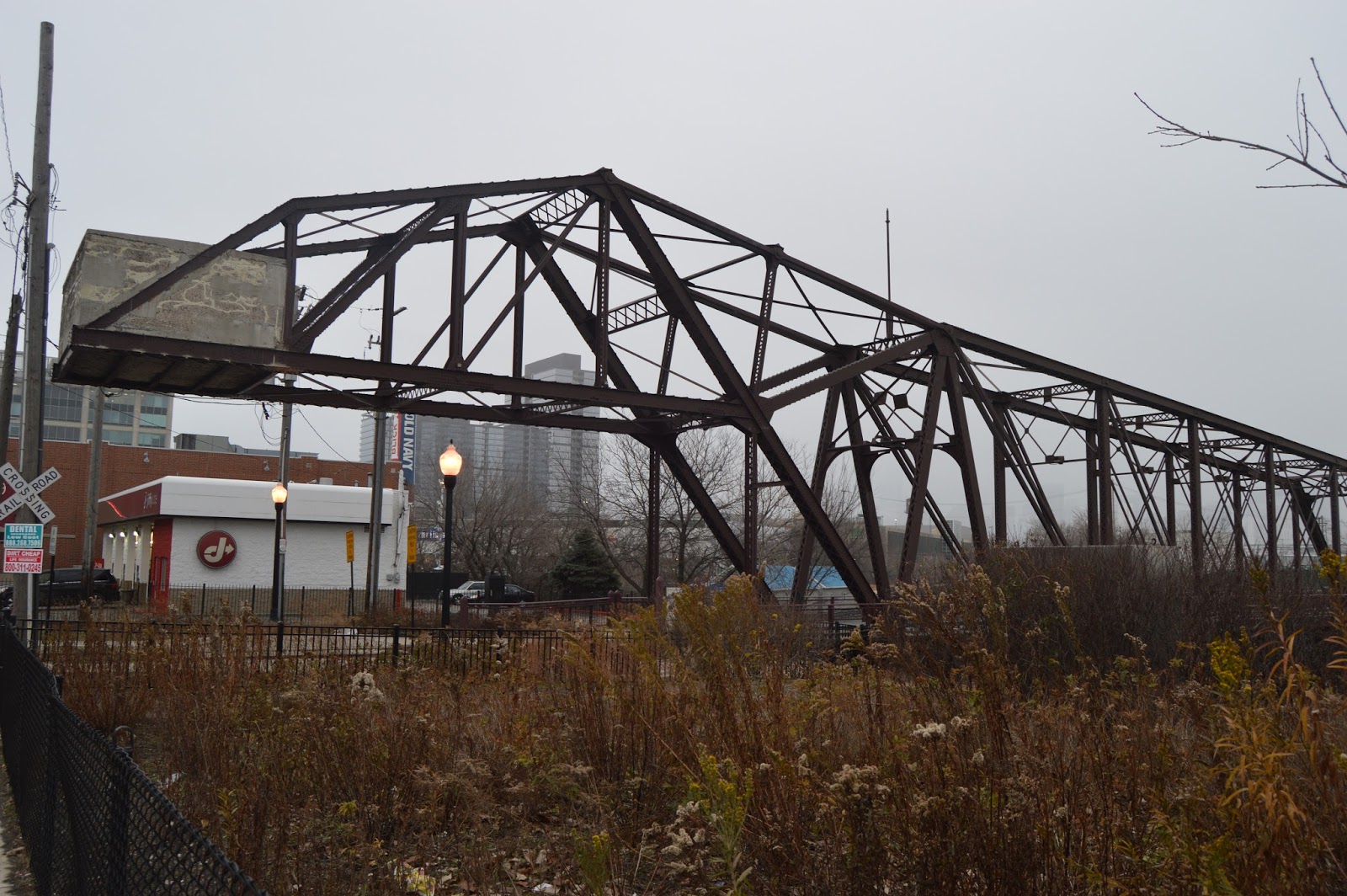
Note all of the brake lights that are on. It is not unusual for the Eisenhower to be choked before
the new lanes are merged back onto the old right-of-way. But when traffic does not open up after the merge, it is a big bummer. This would be on a weekend day in the afternoon because I do not go to the big city during the week and I'm not a morning person. Also note that there is a train on the IHB bridge in the background.
One advantage of being stuck in traffic is that I had plenty of time to document that there is still some freight activity on the B&OCT by
the Harlem Avenue stop on the Blue Line. (It is for the
Ferrara Pan Candy Company)
Because digital photos are so cheap, I take pictures of something sooner and later. In this case the
Western Avenue Corridor Bridge over the expressway.
The "L" bridge was part of the old Metropolitan L.
No idea why I took this picture unless it was to document the rather heavy usage of the Blue Line on a weekend. Or maybe I wanted to research if the building was an industry that got converted to
lofts. In fact: "
the building once housed a paper mill, and its last usage was as a warehouse for the True Value Corporation." [
vb1224]
Snap happy?
The Near West Side is being gentrified with new (tall) buildings.
Now heading north on I-90. Green and Pink (Lake Street) "L" bridge
Hubbard Tunnel
Hubbard Tunnel and UP/C&NW elevated tracks.
Division Street Bridge
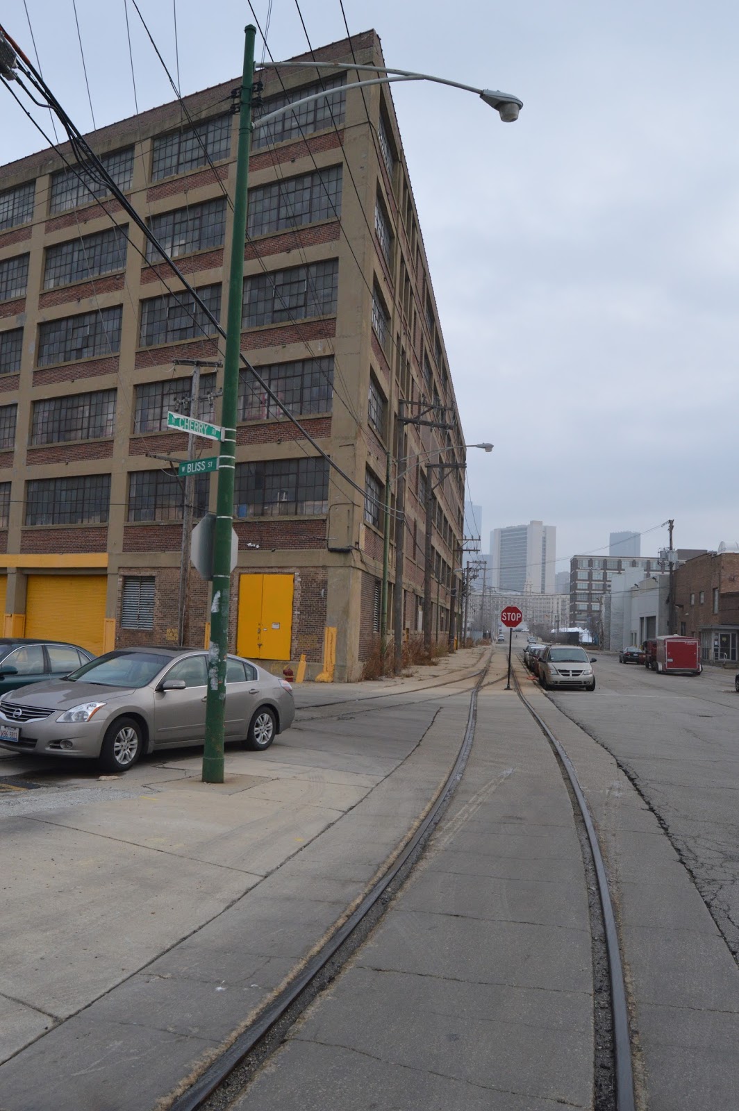
Where Cherry Ave. joins N. North Branch St. looking North
Looking south
Looking North on Cherry again.
Walked up N North Branch to get a better shot of the industrial building.
The vacant lot and construction in the other direction to show how Goose Island is being gentrified.
Across N North Branch to show how ComEd spent money to make this switch yard look prettier.
I drove back north on N North Branch so I had to go east on Division one block to get back on Cherry.
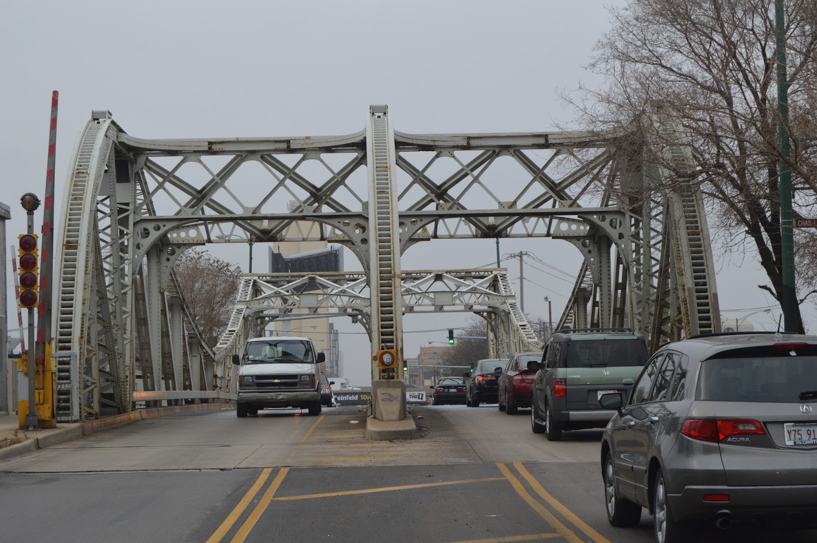
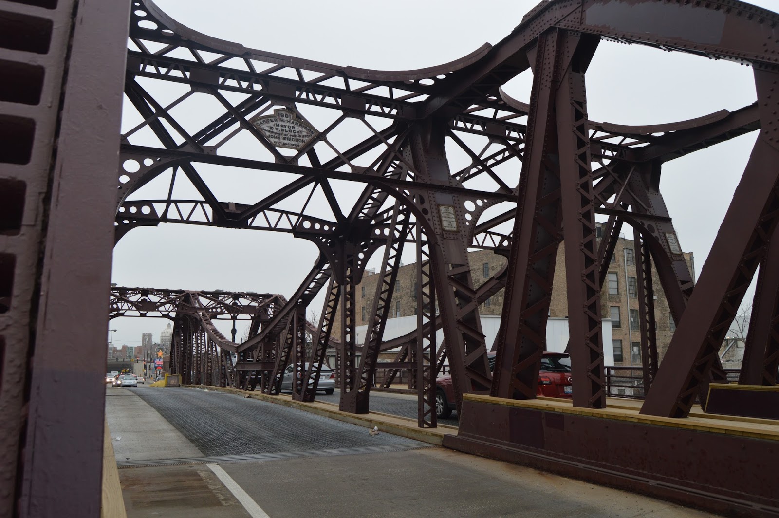
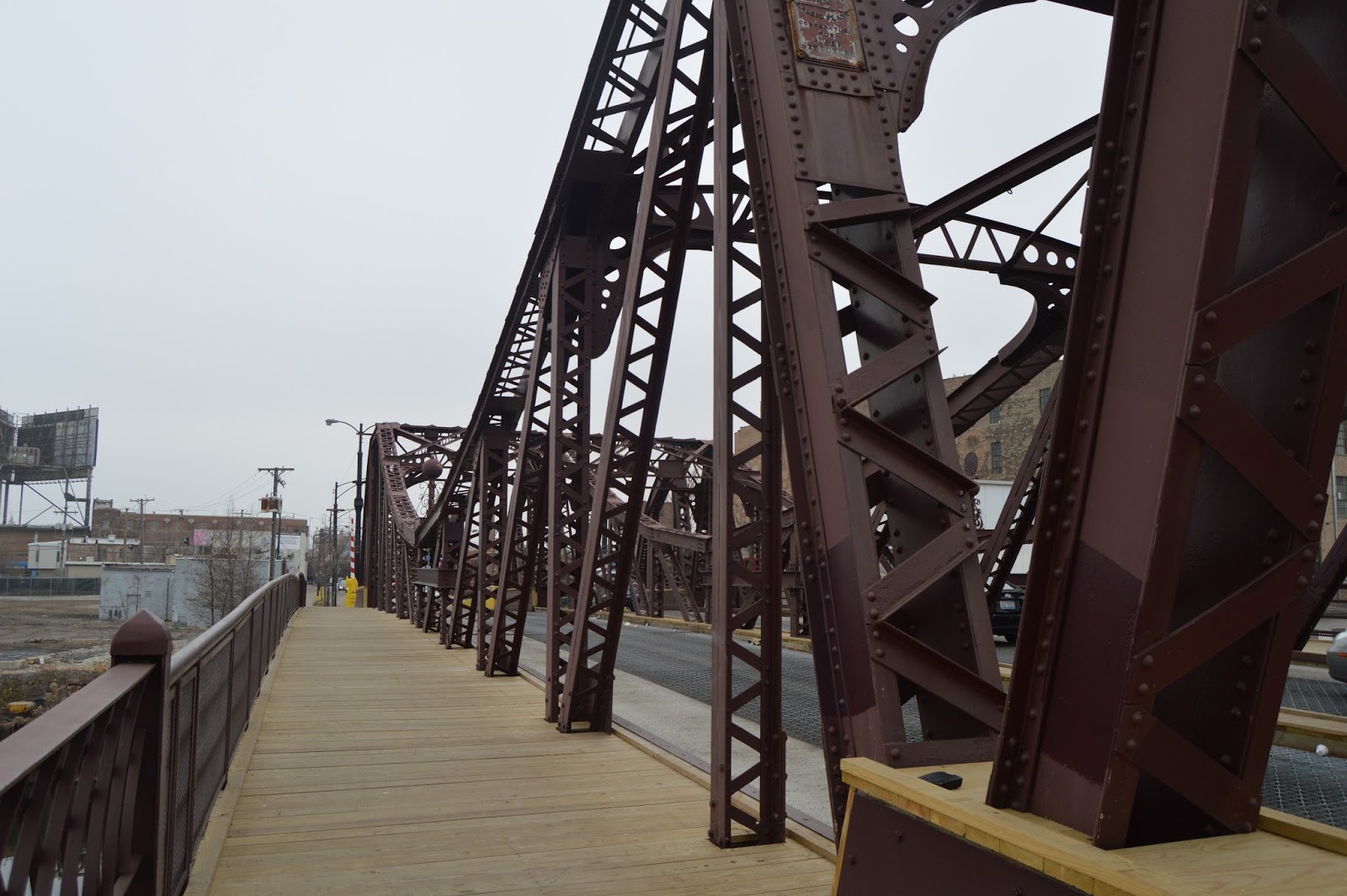
I parked off Cherry so that I could walk over and get pictures of Division Street Bridge because this is one they plan to replace with a fixed bridge. The three racks on the outside indicates this is one of the 10 made with the original Chicago design.
The bridges on the North Branch have been converted to fixed bridges by locking the spans with beams.
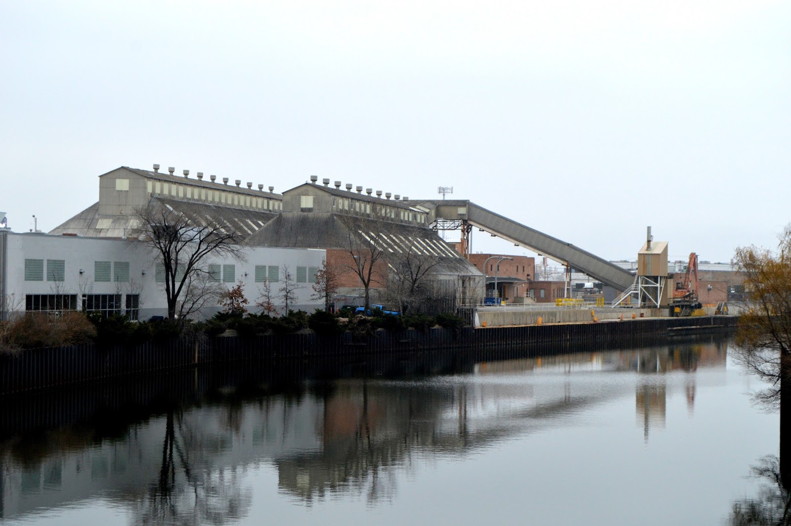
Looking from the bridge to Morton Salt.
Morton Salt buildings in the background.
This is the parking lot I parked in. Google satellite shows it as a vacant lot. I'm looking at the south side of a building that was obviously being remodeled. I saw workers on the inside on a Saturday. Google indicates the building used to be
Boelter, a Restaurant Supply Store. Their web site still claims that
their Chicago location is 1701 W. Division.
Since I was taking pictures of the building, a person came out to talk to me. I explained that this is the first brick building I have seen in Chicago with rod and star-plate bracing. I thanked her that they preserved the character of the building.
I went south on North Branch and back up Cherry Ave to get another block away from the bridge before I attempted crossing Division Street.
This is the curve in Cherry Ave north of Division.
Soon after the curve, it leaves the middle of the street and runs along the east side.
After I parked at one of three spots at the end of Cherry Ave, I took a picture looking south, then...
...north towards the
Z-2 Bridge.
As I walked to the Z-2 bridge, I got pictures of the new North Ave. Bridge
The railings in the foreground are for the Water Taxi dock on the north end of Goose Island.
I cropped and...
tweeked brightness and contrast for a posting.
Lots of pictures of Z-2 since one can walk across it.
A shot of
Morton Salt from the north. (The others were from the south.) This building has also been sold to developers.
This is looking back at the Water Taxi dock from North Ave Bridge
A TARP drop shaft next to North Ave Bridge. The first one I have seen.
Looking north along the tracks from the south side of North Ave after waiting a bit to get a gap in the cars.
Looking northish on Kingsbury St. from North Ave.
The tracks now stop before crossing North Ave.
They used to go all the way south to a yard on the north side of Kinzie and
across the North Branch to Milwaukee's mainlines to Union Station.
Looking straighter northish along Kingsbury .
Looking south to Bridge Z-2.
I turned around to show that this track
joins the track in the center of Kingsbury.
Continuing north on Kingsbury...
...you can find industrial spur turnouts that now
stop at new parking lots or buildings.
An industrial building conversion that kept the smokestack as a monument to its heritage.
Another spur
to nowhere.
The track enters a scrapyard that was working on a Saturday.
The connection to the outside world comes over the Z-6 bridge and curves into the scrap yard to join the branch up and down Kingsbury. Looking southish from Courtland and Kingsbury.
Turned around 180 degrees.
Now on Courtland looking at the north vacant lot left by
Finkl Steel's move. At the time I did not know this was where Finkl was, I was trying to get a picture of the Strauss bridge in the distance that I did not know existed. It is a
UP/C&NW bridge.
This abandoned track was part of the Finkl complex.
They had a second track crossing Courtland, looking north.
Same track looking south. Looking at an older satellite image, this track went in a building.
Courtland Street Bridge, the first trunnion bascule bridge in Chicago
Looking from Cortland Bridge to the Z-6 bridge.
Another view of Z-6.
I started back to my car by walking south on Elston. While at the corner of Cortland and Elston, I took a picture looking west along Cortland to catch a mainline of the C&NW.
Here is where the Milwaukee branch that served Kingsbury and Cherry crosses Elston (looking south).
When I come across them, I take pictures of the Planned Manufacturing District. They were an attempt to keep industry in the city rather than fleeing to the suburbs or Mexico or China. It is not working.
Although there is at least one real industry left along Elston:
Sipi Metals.
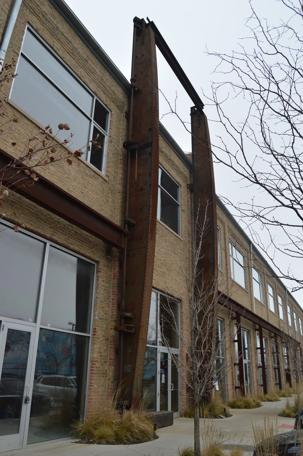
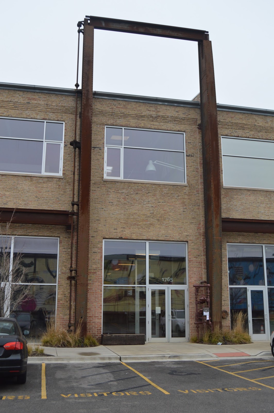
Two buildings on either side of what is now
a parking lot have been preserved and turned into office space. This is the building on the south.
Several pictures of the building on the north.
The saved the frame of the transfer crane as an entrance decoration and you can see the rails it ran on are left on both the north and south buildings. That is, this parking lot used to be a materials storage lot.
The gate in a fence was open so I was able to get in the back area and take lots of pictures of Z-6. It can no longer be operated because the copper has been stolen out of the motor. You can see the Cortland Bridge in the background
This is an overview of the two buildings looking west from the east side. You can tell that there used to be an industrial lead into the materials lot because of
the curve in the south building.
Looking across the river at the scrap yard the Kingsbury branch ran through. You could hear that they were grinding stuff up. Notice the dust rising into the air in front of the big green building.
As I walked back, I took a picture looking east from near the east end of the buildings.
Another detail shot of the preservation of the transfer crane showing the shaft on the left side that drove the pinion gears.
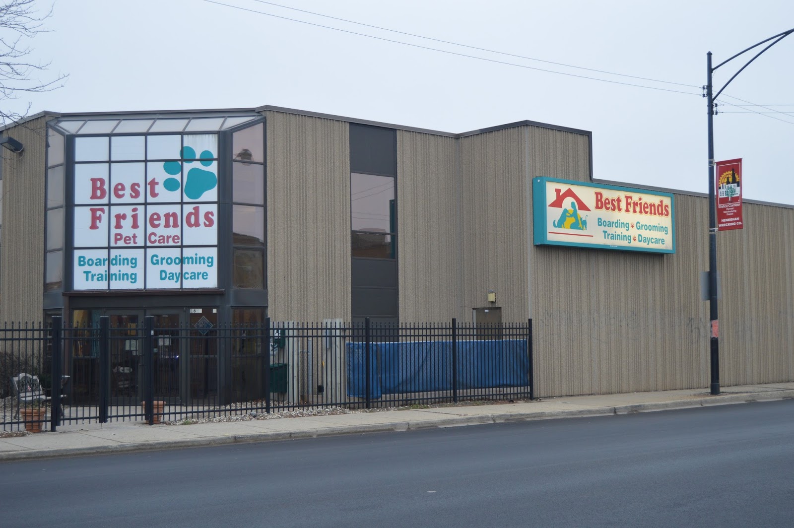
The main "product" produced in this manufacturing corridor now is kids. In addition to this day care, I saw a pet shop, toy store, doctor offices, etc.
I guess this is just a neat building shot.
As I said, kids are the main product now.
At the corner of Elston and North, before I turned west on North, I noticed I could get a decent shot of the Morton Salt sign that you can see very clearly from I-90/94.
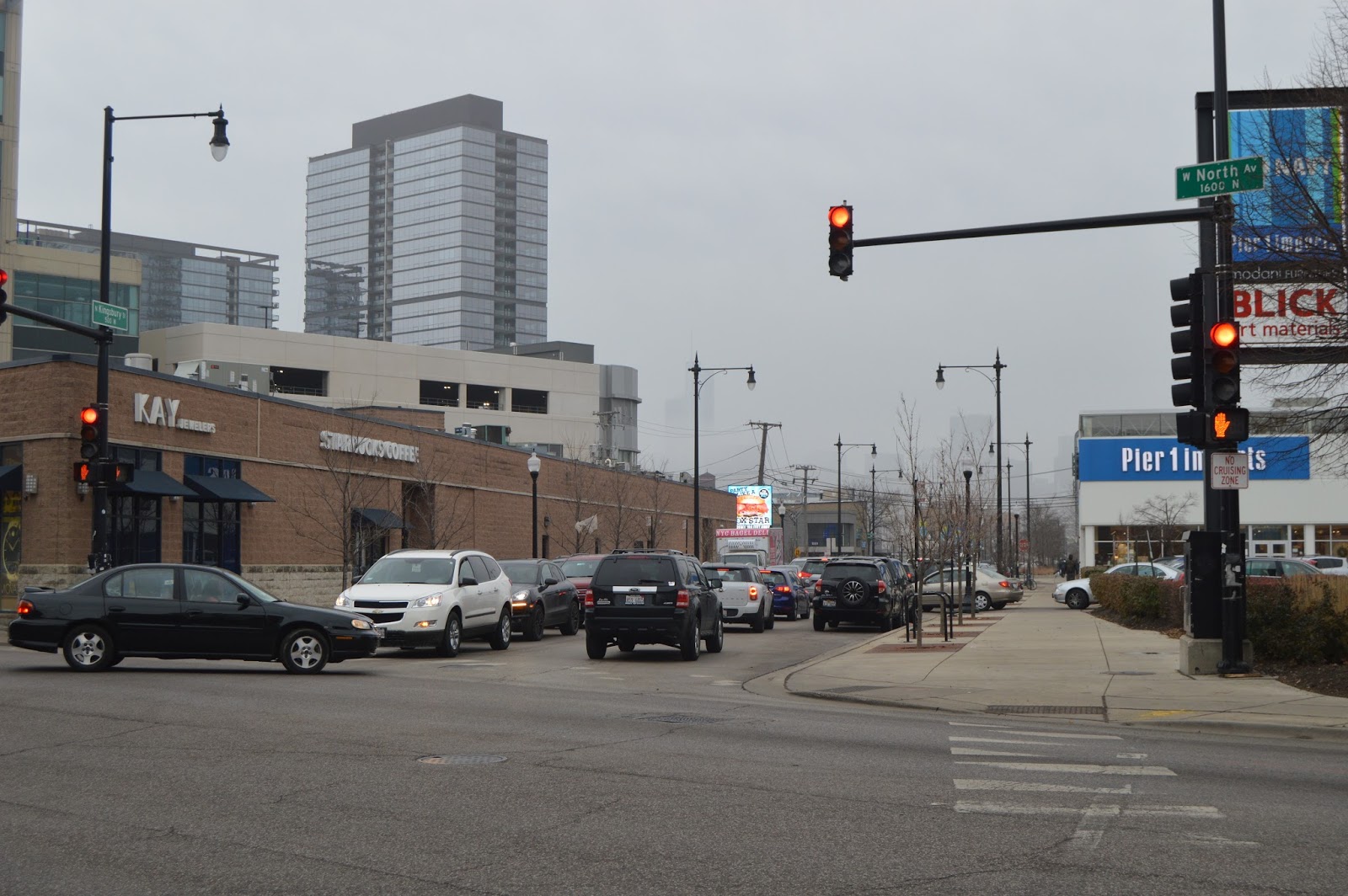
This is why I now park on Goose Island and walk this area. When my daughter drove me down North Ave so that I could get pictures of Z-2, we hit the same grid lock --- the lights for as far as you could see would turn green, but no cars would move! There are as many brake lights on here as you see on the Eisenhower.
Gentrification in progress, it is beginning to look like the suburbs.
Back to North Ave and Z-2 Bridges.
I learned when studying the former Wrigley Gum Factory that this is the Wrigley Global Innovation Center. I parked at one of the red diamond stakes in this
Streetview. I guess it was a good thing that it was a Saturday and security was not partrolling. What I wanted to show is that the entire complex is surrounded by fence. So the nice riverside green areas are for employees only.
This is why a TARP drop was needed. This is one of the places where raw sewage used to be dumped into the river if there was a heavy rain.
Again, I got tired of waiting for a complete gap in the traffic to take a picture looking north from Z-2.
This is where I parked the Honda.
I took Cherry+North Branch down to Halstead because westbound on Division is a nightmare, even on the weekend.
The spur into
Goose Island Boatyard is obviously no longer used.
More boatyard.
Prairie Material Yard 32 I believe this was the one used for
Trump's Big Pour.
Streetview of this white building from Halstead St. Bridge. I need to research if that white building was Montgomery's Order Fulfillment Center.
Back on the Eisenhower heading home.
Evidently there is only one "L" consist that they light up for the holidays. I was pretty much at a standstill, but the "L" wasn't. So the camera could not get a focus lock since I pushed the shutter fast to try to get it while it was in a gap of cars.


No comments:
Post a Comment